
Legendary tales of North Hills history
From important roadways to little-seen remnants, the North Hills of Pittsburgh is steeped in history.
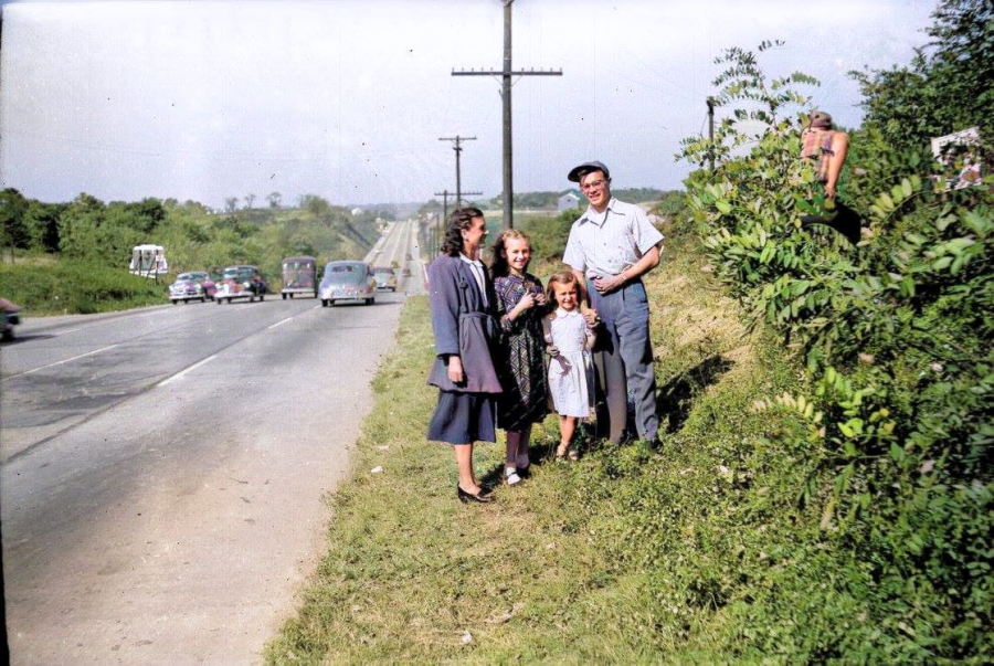
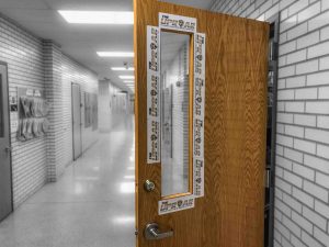
This postwar image of US Route 19 (Perry Highway) on October 2, 1949 was taken near the current location of the Sunoco gas station.
March 31, 2022
Driving to school on Perry Highway at 6:50 in the morning, the significance of the road’s name is probably the last thing on anyone’s mind. More than likely, students are more worried about finding a parking spot than anecdotal details of local history.
But to some students, each drive on Route 19 is a living celebration of the United States’ glorious victory in the War of 1812. And if it’s not quite that romantic to you, then Admiral Oliver Perry’s heroic actions at the Battle of Lake Erie may as well be forgotten forever.
That may be more than a small exaggeration, but in any case, local history is still interesting for its continued yet unrecognized effects on our day-to-day life.
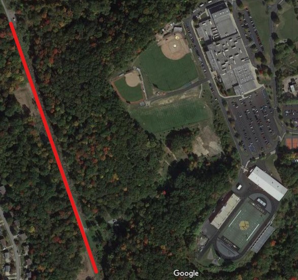
More than 200 years ago, the North Hills of Pittsburgh lacked any settlement beyond a few log cabins. In December of 1753, one of the first explorers of this wilderness was none other than British ambassador George Washington. According to the journals of his guide, Christopher Gist, 21-year old Washington passed along the Venango Trail (roughly coinciding with Pine Creek) in present-day McCandless. Washington was sent by the British to request that the French leave the Ohio Country, but their refusal soon resulted in the French and Indian War. Regardless, it’s fascinating to think of George Washington tromping along Pine Creek, right at the bottom of the hill where NASH now sits.
Perry Highway, also known as US Route 19, is named for another famous visitor to McCandless. Commodore Oliver Perry is famous for his naval victories in the War of 1812, and today’s Route 19 was crucial in Perry’s victory at the Battle of Lake Erie in 1813. To reach Lake Erie from the factories of Pittsburgh, troops used what was then known as Perry’s Overland Route. The road closely follows the old path of the Venango Trail–the same route traveled by Washington–and was used by Perry to shuttle supplies from the factories of Pittsburgh to Erie.
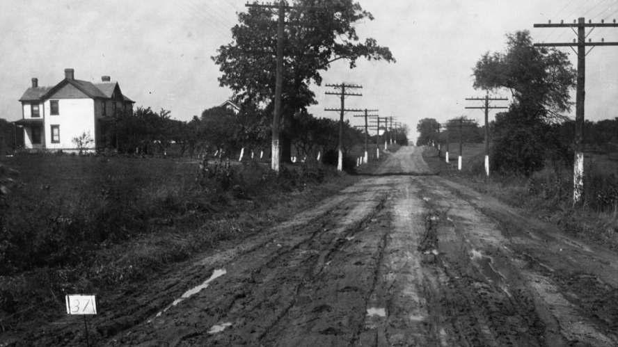
Originally much more circuitous than present-day Route 19, Perry Highway was completely covered with concrete by 1929, and later upgrades have since widened and straightened its path. Even so, it takes only casual observation to notice roads marked “Old Perry Highway” that sometimes split off from Route 19; now often forgotten, it is fascinating these are the same winding byways that helped secure a pivotal American victory in the War of 1812.
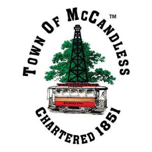
The seal of the Town of McCandless is prominently featured on signs at the township’s boundaries, yet it features two things that couldn’t be more foreign to McCandless residents today: an oil well and a trolley. Both subjects hold interesting backstories. At the turn of the 20th century, oil was discovered in McCandless, and oil wells soon started to pop up around the community to take advantage of the plentiful supply. At the peak of the town’s oil “boom” in 1916, more than 150 oil wells were located in McCandless.
With the advent of large industrial conglomerates and the decrease in small oil operations, McCandless’ oil wells would soon decline, although according to a book produced for the 150th anniversary of the township, at least one well was in operation as recently as 2001. To transport oil to locations north and south of McCandless, an underground pipeline was built, but there was also another convenient method…
The trolley on the McCandless seal played a major role in the development of all communities north of Pittsburgh. Although it was used to haul oil drilling supplies to the area, the Pittsburgh, Harmony, Butler and New Castle Railway–known as the Harmony Line–was more commonly used by North Hills residents to commute to the Golden Triangle. Built in 1908 by a North Side department store owner, the Harmony Line allowed for the development of new “bedroom communities” between Pittsburgh and Butler that had previously lacked a connection to a large population center. Even after shutting down in 1931, the Harmony Line retains its footprint on the North Hills. Roads such as Harmony Drive and Harmony Parkway were built on the old trolley tracks, and its former route passes just below NASH.
The McCandless-Northern Allegheny Heritage Center, opened in 2017 after years of development, serves as a wonderful resource to those who want to learn more about the history of the North Hills. The Heritage Center houses relics of the Harmony Line as well as artifacts from area businesses. Local history may seem to be self-contained, but the North Hills played an important part in the growth of suburban Pittsburgh, and the area was even explored by notable figures of centuries-past national history before there was anything in the way of suburban development. Although regional history is often overlooked, the roads that NASH students take to reach school every day are imprinted with the stories of years past.
The Uproar thanks Northland Librarian Amy Steele for her assistance with this story.


Phyllis McCracken • Mar 31, 2022 at 10:38 pm
Wonderful article and very informative. Thank you for sharing.
Leslie Donohue • Mar 31, 2022 at 9:15 pm
Thank you for all you shared. I grew up in Mc Candless Township. I found the history to be so interesting.
Matthew • Mar 31, 2022 at 3:25 pm
Well written sir. Thank you for sharing
Matthew, Myrtle Beach ~ NA grad 05′
Susan Kirstein • Mar 31, 2022 at 2:55 pm
What a joy to read! Thank you for making this part of McCandless history come alive!